Skip navigation

Monthly Archives: February 2014

Image

This blog brought to you by Funhog Press

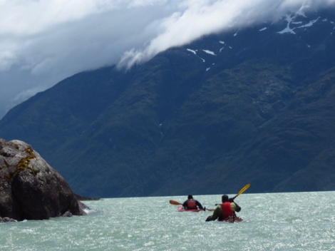
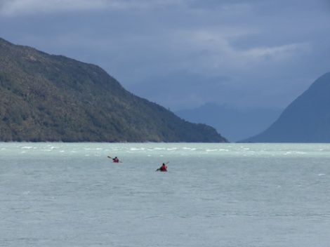
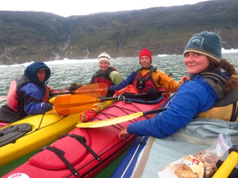
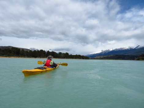
There was hardly a wisp of wind as we stroked through a small glassy swell. The channel, that huge intimidating monster, was now a pretty stretch of open water beneath sun dappled mountains. In two hours, we were on the far side enjoying a bag of highly-anticipated cookies that had been carefully held under Diana’s ration key for days. Once the cookies were gone, we turned over rocks looking for worms that Roberto could use as bait.
Image
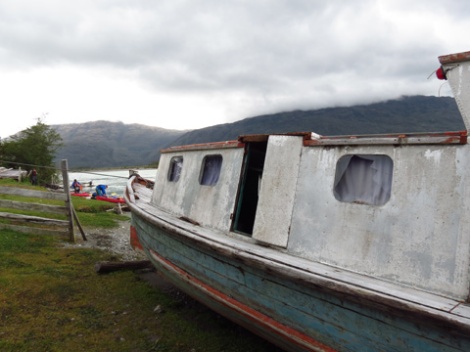
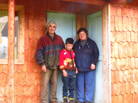
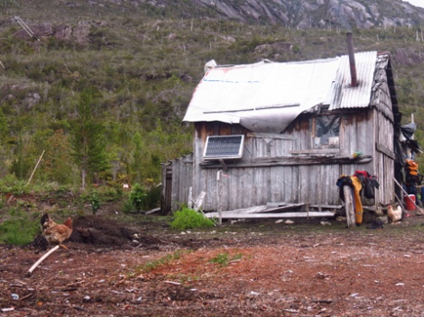
Granite cliffs held powerful waterfalls crashing directly into the sea. An old wooden rowboat appeared on shore. We shouted as we passed, but raised nobody. Around the next point, the mystery was solved with a small wood-shake hut at the back of a small bay. Mate’ rounds circulated as a woman with chiseled features and striking black hair slowly spoke, her toothy smile lighting up at our curious comments. She knew the beach where we’d been stranded. She was once there for seven days, she said, waiting on the wind.
Image
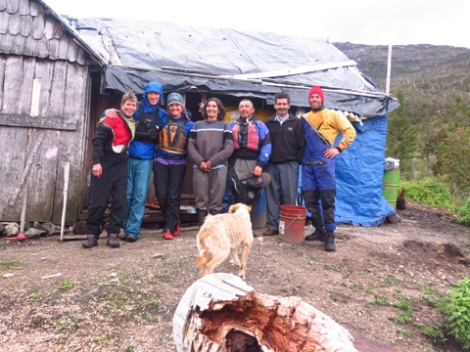
After getting a radio message out, which slowly spread uncertain news of our well-being to the world, we took turns warming ourselves by the corner stove.  The hut walls were papered with dog food bags, tacked up to shield Patagonian winds that would otherwise whistle through the cracks. Sunlight pierced through tiny windows of plastic and glass. The nearest town, Tortel, required a seven-hour rowboat ride for the woman and her husband. Still, they offered us hot plates of fish and rice. We gratefully gobbled down our first full-size meal in days, and hit the water recharged for the end of our journey.
Image
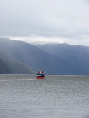
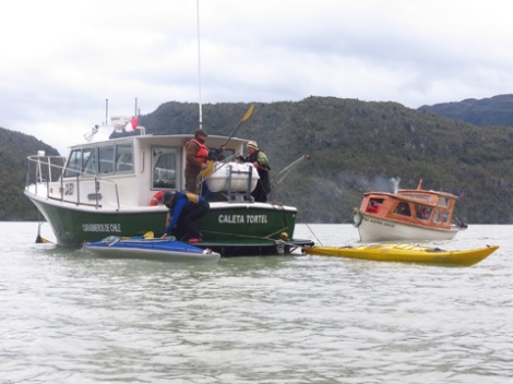
A police boat motored up the channel. One or two days earlier, I would have welcomed the sight, but now we were so close to finishing I wanted to complete the journey under my own power. But that option had passed. The rescue effort was launched sooner, but the seas and skies were too much for them just as they were for us. We motored into Tortel while chatting with our rescue commitee, imbued with a new appreciation for Patagonian weather, and satellite phones.
Image

Image

The blog brought to you by Funhog Press

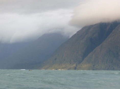
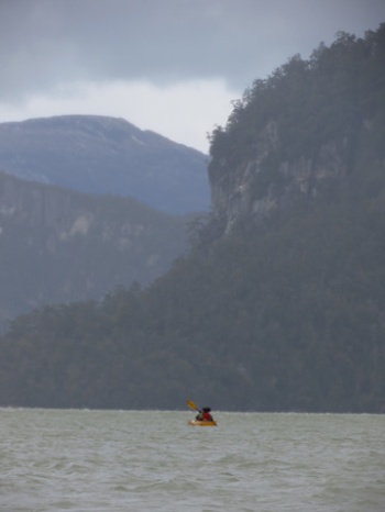
Clouds began to stack up, hastening departure from our post-adrenaline lunch break. We rounded a point at the end of San Francisco Island and once again, it was game-on. I stayed close to shore where rebound waves, called “clapotis” in sea kayak terms, sometimes surged me forward. Little crenulations in the coastline provided modest shelter from the torrent. Small headlands brought mini-hurricanes.
Image
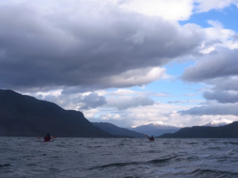
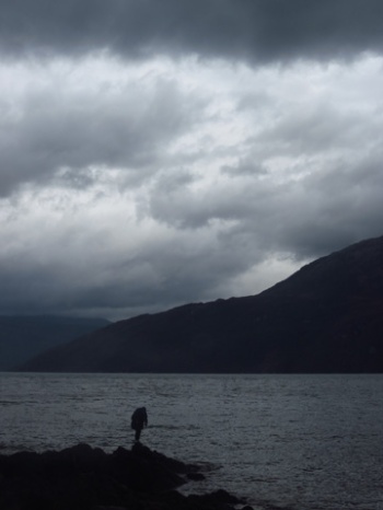
At a major point, we gathered for a 50-yard sprint against the tempest. I estimated the wind blowing a steady 40 miles-per-hour, with gusts to 60. A desperate two-minute battle delivered us to the bay, where the wind tapered to a breeze. Darkness was not far off. A beach on the far side of the bay was our goal. Roberto thought a rancho might exist here. If so, we might get a message out on their radio. Diana could get word out to change her flight, or at least call off the impending search for us. We had hoped to be back in Tortel on Tuesday. It was now Wednesday, and we were still at least a day out. And the schedule wasn’t up to us. This wind was making the call now.
Image
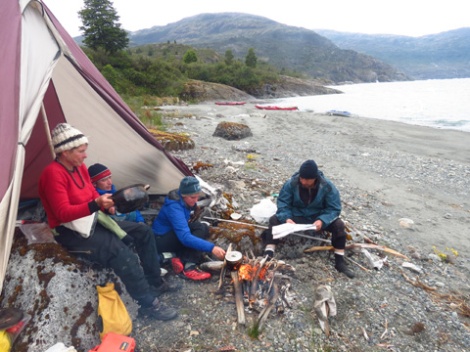
We reached the beach at dusk. I was working on a fire when Roberto reported that this was in fact the campo, but it was long abandoned. There would be no radio tonight. Lisa got the tent pitched in a strengthening drizzle. We feasted on pasta and quickly retired to our tents. The staccato tap of rain on nylon droned all night. At dawn it still poured, and the channel looked huge. By 11 am, the deluge tapered. We emerged from our shelters to look out at a channel that remained raucous. The 8-mile crossing that awaited at the end of the island was obviously a no-go, but we had to keep moving. Our food supply was dwindling.
Image
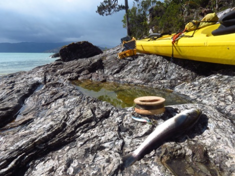
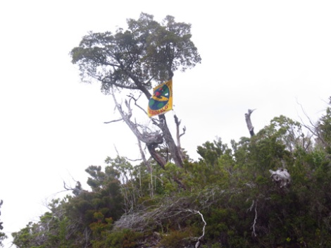
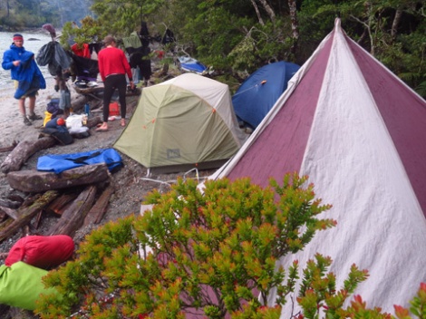
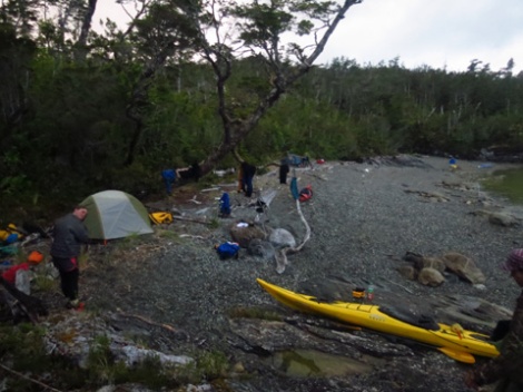
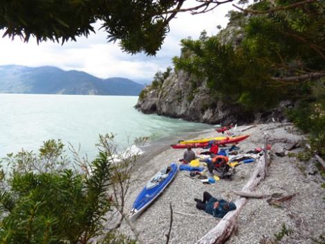
A short paddle down the wind-battered coast brought us to the tip of the island where we camped on a sheltered narrow beach, our tents stacked side by side beside the campfire. I crawled and hacked across a headland to hang Roberto’s yellow Escualos flag from an overhanging coihue tree, so that any passing boats would see it, and hopefully us. When I returned, Roberto had caught three fish. This was a great relief to our building hunger. Again, it rained hard all night.
Image
By morning, the ground beneath our sleeping area was oozing with water. The earth was saturated, and springs were forming right under us. Lisa put on her drysuit and stepped into the steady shower. She returned moments later to report that the channel winds were down. The team began to break camp, but it’s not an easy process amidst Patagonian storm. By the time we were nearly ready, the winds sparked up again.
Image
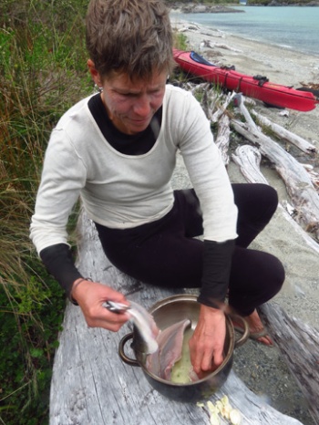
We remained in paddling clothes just in case the wind died, but we also prepared for another night on the island. All five of us struggled, and finally succeeded, to get a fire going in the soggy conditions. I built a gravel platform to elevate our bed above the water in the tent. Lisa gathered driftwood from a beach across the cove. As Roberto fished stoically in the continuing rain, we gringos sang songs around the fire, exhausting the Simon and Garfunkel songbook before turning our attentions to Roberto’s catch, and another dinner of whole fish soup.
Image
The rain stopped by dawn, and I crept out to see the calmest sea in days. “Hey you guys, I think we should bust a move,” I crowed anxiously. We paddled onto a gentle swell beyond the point as a loud hum approached from the far side of the island. The plane banked toward shore, passing directly over us at 200 feet, and continued flying south. It was obviously a search plane. Clearly, it hadn’t seen us.

Image

This blog brought to you by Funhog Press

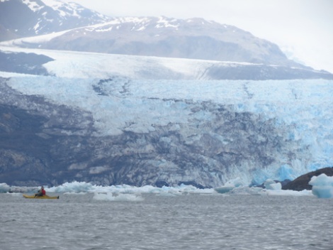
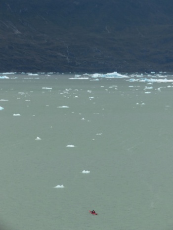
The Jorge’ Montt Glacier is an extension of the Southern Patagonian Icefield, and like many glaciers on the planet, this one is in recession. We paddled deep into a curved bay littered with sculpted floating ice, encouraged onward by the promise of sighting the icefield. It finally revealed itself—nearly ten kilometers farther up the bay than my 1997 map indicated.
Image
A cold breeze coming off the ice chilled us, and a squall was approaching. Lisa and Roberto got a fire going while Weston and I erected the mega-mid, and Diana collected wood. After fifteen minutes of struggle, we had a meager shelter and a growing fire. It was another hour before everyone was warm.
Image
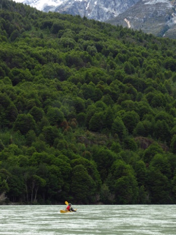
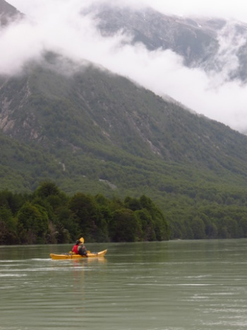
Light winds allowed us to reach a perfect gravel beach that was sheltered from the Northwesterlies. This was Isla Clara, indicated on our map by name, but not shown as a land mass. By dark, everyone was rested and ready for an early start in the morning. Diana had a flight leaving in three days. We needed to reach Tortel in two. If the weather cooperated, this would be no problem.
Image
I awoke to wind flapping the tent at 2 am. Rain followed, and when I crept out at daybreak I found the tide lapping at rocks twenty feet higher than the previous evening. Roberto was stoking a fire. He had awakened to one of the kayaks scraping on the rocks, floating. Neither of us had to say anything to acknowledge the gravity of this close call. Seas peeled by the outside of the island, like a river rolling past with whitecaps from shore to shore. I went back to bed.
Image
By late morning the storm had passed but the wind continued out in the channel. Weston and I went for a scout, bushwhacking over moss ledges and wading through ferns to reach an overlook. The shoreline of Isla Carla appeared navigable, but after that things got spicy. A point formed an obvious eddyline, beyond which a channel roared with big waves. If we could make it across that quarter-mile crossing, safe harbor could be found in the lee of the next island. We returned to camp to deliver the encouraging news: We had one big ferry ahead of us, but another sheltered beach was within reach.
Image
We gathered at the point and went over the plan. Lisa would lead. I would sweep. We had to reach the lowest beach on the far side. If anyone missed that landing, they’d be off down the channel. Lisa peeled out and immediately started losing ground. Wave-spray whipped past and she disappeared behind the swells. When I could see her at wave crests, it was obvious that she was paddling hard, a pace she couldn’t sustain for long. I peeled out paddling with as much pace as I could bargain, occasionally pausing to brace when the biggest rollers came past.
Image
After several minutes, the wind began to slacken. We were starting to reach the shelter of the next island. Although we all made the crossing with room to spare, the ferocity of the wind and the size of the waves only re-invigorated our respect for the conditions. Exposing ourselves to open water in this wind was pure lunacy.

Image

This blog brought to you by Funhog Press

We drifted through the burned barren landscape of the lower Pascua in an unrelenting heavy mist. Roberto knew of a military camp nearby that was headquarters for the Carretera Austral’s continuing construction into the frontier. We walked to the lonely encampment and found a plain-clothed sergeant. Soon, we were sitting in the empty mess hall eating spaghetti with hot dogs, contentedly sipping Nescafe out of the rain. Staring at maps on the wall, nobody could decipher the route Chile had planned for its national southern highway. Pinched between the southern Patagonia Icefield and the Pacific, real estate was running out. The officer assured us that the next point of land was their goal. Further orders were a matter for the future.
Image
Back into the soaking mist, we floated in search of camp. Instead, a homestead appeared on river right. A man strolled across his yard under an umbrella. Minutes later, five wet paddlers surrounded the wood stove of Rafael and family. After setting up our tents in the yard, we settled in for an evening of Chilean TV (via satellite), mesmerized by the raunchy humor of an improv show beamed across the wilderness from a city two thousand miles away.
Image
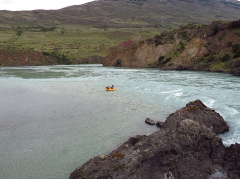
The rain stopped by morning. We floated the final few miles of the Rio Pascua, skirting breakers where the current met the sea.
Image
A crippling headwind funneled up the fjord. The shoreline crept past at less than one-mile-per-hour. We pulled into a cliff-bound cove where we could rest without being pushed backward, and where our voices could be heard over the whistling wind. Following a quick discussion, we probed around a bluff hoping for salvation, and found it. Weston gave a cheer, and we followed him in to a sheltered beach.
Image
I don’t know if the wind diminished or we just got sick of waiting, but we set off again in late afternoon. Our goal was to clear Glacier Point, where the wind would no longer be funneling straight against us. Fighting the oncoming waves, we got strung out. Each of us was engaged in our own epic battle to make headway against the rolling sea. Sighting the other boats was difficult as they bobbed in the swell, and turning to look for them was precarious, distracting me from the relentless waves.
Image
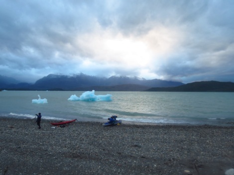
Glacier Point crept past, and for the first time in hours I could stop paddling. Rays of sunlight beamed through cloud cover in the west. Floating objects in the distance glowed with an unnatural blue, luminesced from within. My mind worked through the possibilities for several seconds before it came to me—Icebergs! To my relief, the rest of the team cleared the point safely, and we pulled into camp beside a bobbing berg at twilight. If the winds cooperated, we would seek the source of the floating ice chunks in the morning.
Image

Image

This blog brought to you by Funhog Press

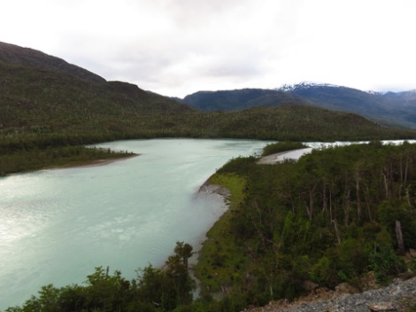
Today, the Carreterra Austral—Chile’s southern highway—ends at the Pascua River, a mile past the home of Hernan Guelet and family. Physically, the road continues on the other side of the river, but with no ferry service travelers are at the end of the line when they reach the mighty Pascua. We stopped here, too, for a look around at the proposed Pascua dam site, and share thoughts about what lies upstream.
Image
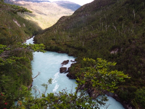
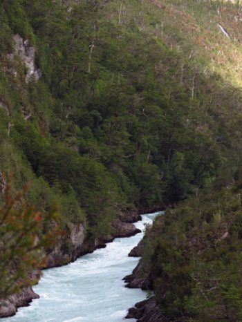
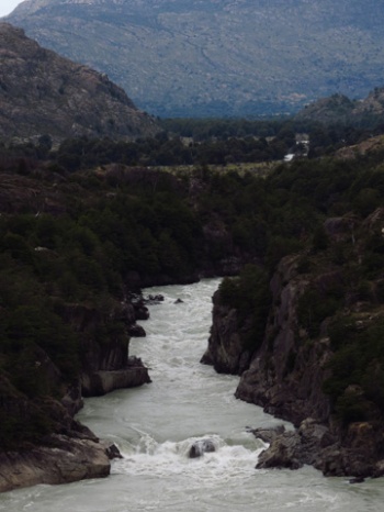
Draining the huge inland waterway of Lake O’Higgins, the Pascua plunges into the Andes over Niagra-esque waterfalls before snaking into a deep hidden gorge. In the history of whitewater paddling, only three parties have probed into the Pascua canyons. The first descent, in 1999, was led by paddling icon Josh Lowry. Lisa and I ran Arizona’s West Clear Creek with Josh the season prior to his landmark exploration. During that trip, he talked about the mission daily, smitten with the adventure. His excitement was justified. Following a turbulent flight over the canyon to scout, they hired a several-hour boat transport out of Villa O’Higgins, to the end of the lake. From here, it was three days of heinous portaging and hairball paddling before Josh’s team emerged in the Quetru Valley. They planned to paddle and portage their way north across lakes and swamps to the new road along the Rio Bravo, but they ran into Hernan Guelet instead. In his skiff, Hernan motored them for 40 miles to Tortel, where they faced another skiff ride of twenty-plus miles up the Baker River to a jeep trail, which led a couple miles to a road. The Pascua is remote whitewater. The late Russell Kelley and Damon Miller took on the Pascua next. Unable to afford the expensive boat ride across Lake O’Higgins to the river’s start, they hired a horse packer to drop them on a tributary that would lead them close to the Pascua put-in. It was a dry year, however, and the tributary was too low to float. They dragged their way downstream anyway, made it to the lake, and finished the Pascua’s second descent. Noted paddlers Tyler Curtis, Matt Gontram, and Mariann Saether used a floatplane to reach the river, and all went well until Mariann swam and lost her boat in one of the final rapids. In the section of river we looked down upon, where the Pascua bursts from a narrow canyon onto a wide floodplain, Mariann stayed with the swirling cold river rather than hiking along shore. The hiking is that bad.
Image
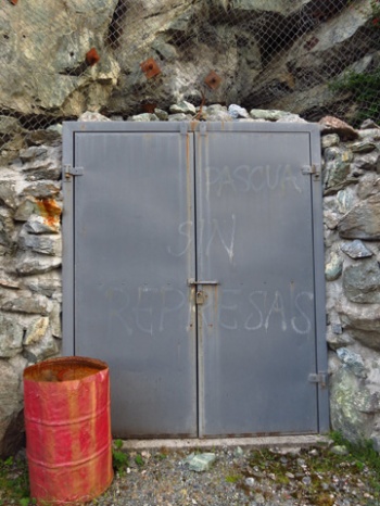
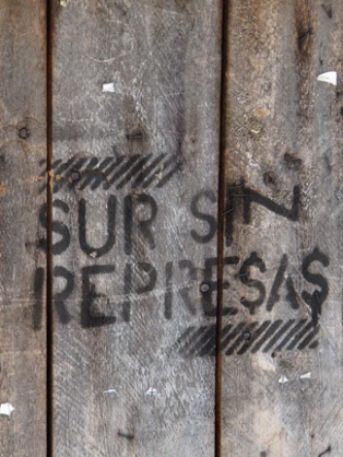
Three expeditions, three epics, this is a river of monumental proportions. To imagine that untamed place subdued with three dams struck me as more tragic than damming the much-publicized Baker. Like the American West’s Glen Canyon of the 1950s, nobody knows this place, and that does not bode well for its preservation. Right now, the proposed Pascua dam site is littered with drill holes, an unnatural road cut, and a dynamite shed bored into the cliff that is labeled defiantly with graffitti, “Patagonia Sin Represas.”

Image

Image

This blog brought to you by Funhog Press

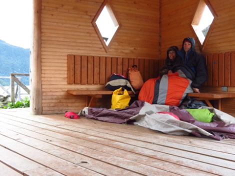
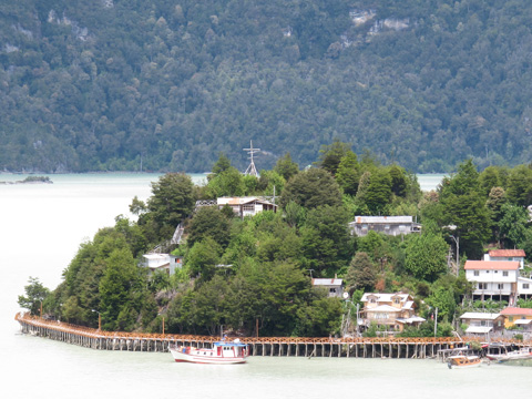
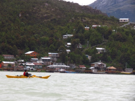
Dark clouds stormed the harbor, and a stiff cold wind rattled metal roofs. Lisa put on wet clothes that had not dried overnight because the stove faltered due to wet wood. We hefted our packs and climbed the boardwalk steps to the road-end rotunda shelter, perched at the windiest spot in town. Weston was due to arrive at 7:30. At 7:40, we got out sleeping bags and draped them over us. Fresh snow was visible on the mountains above town, behind scudding clouds. Sitting there freezing, my opinion of Tortel changed from—idyllic village untrammeled by the big busy world—to—desperate end of the road place without opportunity or much to do. It was a mountain and sea bound prison, and we wanted out.
Image
Weston arrived at 11 am (turns out there is no gas available in Patagonia on New Years Day), at which time I was off attempting to log onto email at the Tortel public library, to no avail. When I returned, everyone was in a big rush. The ferry at Puerto Yungay was leaving in 41 minutes, and it was a 45 minute drive away. We raced down the lonely Carretera Austral and curved over a pass, waterfalls magically gushing forth at every new bend. It began to sleet. Weston locked up the brakes at a gravel corner, producing a small collision with a cliff, but we carried on. When the clock struck 12:00—the ferry hour—we could see water a mile ahead. Rounding the final corner for the moment of truth, we could see the ferry boat. It was a quarter-mile from shore, motoring away.
Image
Our six-hour wait passed without much suffering. There were hot empanadas at the ferry cafe, and the dock gradually collected an eclectic mix of travelers; cyclists from the Netherlands, Chilenos going to see family, fly fisherman, and a Brazillian couple who were on a 1,000-day road trip across North and South America. We were the only paddlers there, but varied enough in our own right: Roberto—the Chilean teacher/adventurer, Weston—the Colorado/Patagonia filmmaker, Diana—the college senior/journalist, Lisa, and me.
Image
At the far end of the ferry crossing, we piled into Weston’s truck and turned down the Quetru Valley toward the Pascua River. The scenery was immediately reminiscent of Alaska. Boggy muskeg valleys linked lakes beneath mostly barren broad mountains. A pick-up truck with a partially shattered windshield approached from the other direction. Inside were a man, woman, and child. This was the clan of Hernan Guelet, settler of the Quetru.
Image
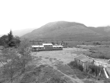
In 1968, Hernan was a teenager living in isolated Tortel, Chile, when he read a military explorer’s report on the Quetru Valley. At nineteen, Hernan set off with a friend to locate his Shangri-La, rowing a 16-foot wooden boat across seldom traveled wind-ripped sea channels. For a map, they had a hand-drawn copy of a government survey. When they reached the Pascua River mouth, they rowed upstream for four days. As the river climbed into a gorge, and a valley opened to the north, Hernan knew he had arrived at his new home. He made that same journey many times over the next three decades before the route to civilization changed at the turn of this century. A road was plowed to within twenty miles of the homestead, and the Guelet family could ride horseback to the road, and the ferry. In 2006, a new gravel track was made, leading directly past Hernan’s house. This was the road we arrived on, to play soccer with 6-year-old Julio, and listen to stories of the frontier over endless rounds of matte.

Image

This blog brought to you by Funhog Press

Chileans are very kind welcoming people, and in far removed rural Patagonia, their hospitality is heightened even more. As we sat inside listening to the pouring rain on the first day of 2014, our host at the Hospedaje Giselle, Maria (Giselle we learned is a granddaughter), invited us to her daughter’s house for a traditional New Year’s celebration, called an asada.
tortel 1
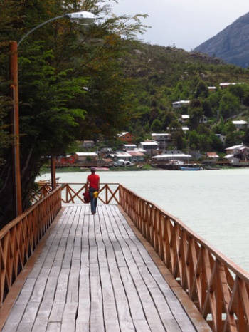
We walked fifty yards across a wooden boardwalk to one of Tortel’s many hillside homes, and entered as five; Nicco and Elizabeth from Santiago, Tyler and Lisa from los Estados Unidos, and grandma Maria, from across the boardwalk. A living/dining/kitchen room was dominated by a centrally located stove. In a corner was a small sink. Two teenage boys sat on a bench to the left, their ball cap bills shaped in severe curves. A reserved teenage girl in a red faux-leather jacket sat in the corner next to a tall fair skinned grandfather. A massive boombox pounded out Latino tango beats. We were offered a clear sweet wine, with canned fruit filling the bottom of the glass. Lisa squeezed onto a couch behind the stove. I sat on a wooden chair beside a rotund garrulous fellow who smiled often, revealing very few teeth.
tortel 2
The grandpa wasted little time asking young nose-ringed Elizabeth for a dance. They stepped across the room in patterns, a welcome diversion for those of us who struggled to make conversation with our limited Spanish. Lisa took the floor with the elder next. A short time later, she produced grins all around with her non traditional individual boogie, opposite one of the young nephews. Later, my wife and I were coerced onto the floor together. Despite our ugly incompetence with swing dance, the locals demanded more, and we struggled through a contemporary Chilean song that seemed to have no end.
tortel 3
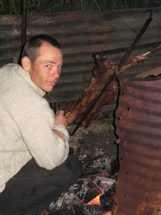
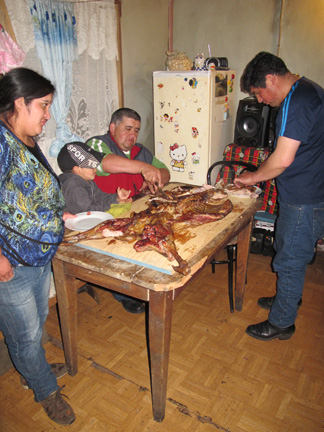
For much of the evening, I lingered outside near the slow fire-cooked lamb, or cordero. Splayed open and pinned to a cross, it leaned over a bed of hot coals until 10 pm, when a shout went out to the neighborhood. Several more of the extended clan crowded into the house, making the obligatory rounds of handshakes and cheek kisses. As the cordero was laid on the table to be unhitched from the cross (“very meaningful” explained Nicco), I counted 19 people filling the fifteen by fifteen room.
tortel4
I sat in the back with a plate of tasty greasy meat, lettuce, and bread with pobra—a Chilean salsa—as a bota bag of red wine began to make the rounds. We made our exit around midnight, when the dance floor was again seeing some use, and the music was back up to unnatural levels. I surreptitiously closed the room window from outside, trying to contain the thump thump thump of Tortel’s New Year asada. We had an early morning ahead.

Image

This blog brought to you by Funhog Press

The river was swift below El Salton, with misty mountains rising all around. The Baker was now clearly on the wetter side of the Andes. Multi-trunked jungle-like trees, mostly beech, spread into a flat canopy of flowering and leafy deciduous that covered nearly vertical mountainsides. Waterfalls spilled out of the cloak everywhere. It could have been a tropical landscape, but a few thousand feet up blue and white glaciers filled saddles in granite peaks.
Image
The “temperate” part of this rainforest became dreadfully apparent when a fresh blanket of snow covered the mountains above 2,500 feet. We packed hastily so we could get in our kayaks, our pods, and retain some warmth from a fresh breeze.
Image
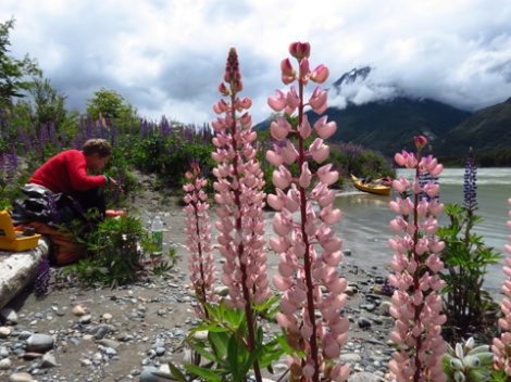
The sun emerged with perfect timing as we stopped at a beach ringed with lupine.
Image
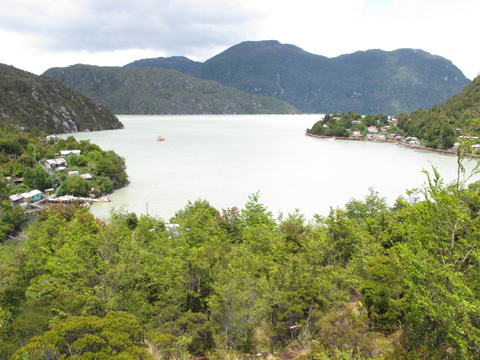
At the river mouth, squally weather accompanied us into the harbor town of Tortel, increasing to a cold wind and pelting rain as we docked.
Image
Searching for a room, Lisa quietly interrupted a back porch conversation with her room query, and the woman in charge responded somewhat curtly with words I didn’t understand. No surprise there. Lisa gathered her meaning, however, and laughed at her joke. In response to Lisa’s query of a room for two, the woman had quickly responded, “No, but I’ve got a room for three.” Minutes later we were shown our three-bed room, and we didn’t even have to pay for the extra bed. After a hot shower, I melted into the couch next to our host, Maria, as a hard rain fell outside. A young couple from Santiago were our housemates. We all shared a round of matte.
Image
Chit-chatting in basic Spanish, the motivations for our trip surfaced as I explained my mission as a writer to investigate the issues of the proposed Baker-Pascua dams. I asked our host if she was in favor. She was all for it. Reliable lights, reliable power for Tortel, these were her motivations. When she stepped out, Nicco from Santiago sat near and offered his excited opinion, in English. “It’s all about maintaing control for the few families who own Chile,” he said. “The power is for the mines, not for the people.”
Image
Energy created from the dams is in fact going to be converted to a transportable current for its long journey to northern Chile, and its mines of copper and gold. Whether little Tortel, only 30 miles downstream, will get any usable power is an unsettled question. Most likely, Hidro Aysen will throw Tortel a bone and run a usable line downstream, but even that seems unnecessary for such a small town. An upgrade to their current system, or a new small scale hydro development on one of the many waterfalls that encircle the place seems more practical for Tortel, a place that saw its first road in 2000, and whose power supply is indeed inconsistent and uncertain.

Image

Image

This blog brought to you by Funhog Press

I had written about it’s whitewater canyons for over a decade, heard about its possible damming for years, and paddled with the locals who know it best in recent months. Somehow, I seemed fated to visit Chile’s largest river, the Rio Baker.
Image
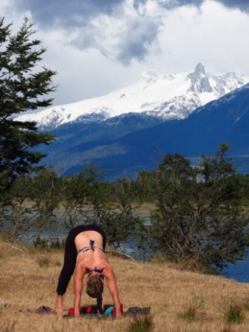
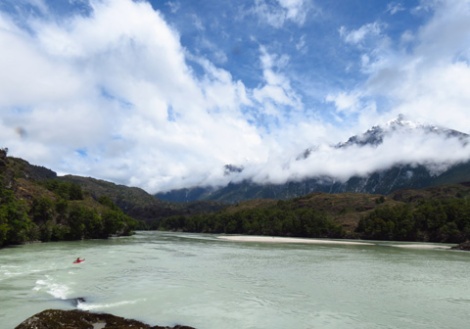
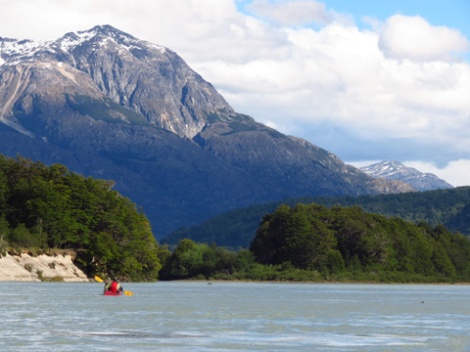
Weston Boyles gave us a lift out of town to the put-in, where we launched beneath a spittle of rain. The next morning, however, brought broken sunshine. Lisa loosened up for paddling with yoga on the beach, backdropped by the gringo-coined mountain of “Tres Picos.”
Image
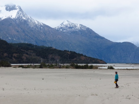
Two hours downstream was the Rio Colonia. This is where the GLOFs of the Baker originate, sending floods twice the volume of the river downstream. The volatile nature of GLOFs is a serious threat to any dam that might be constructed downstream, and the glacial floods have been happening more frequently in recent years, most likely a result of climate change. We walked across the wide sandy bed of the Colonia, hoping the wide channel would not fill with flood waters just then.
Image
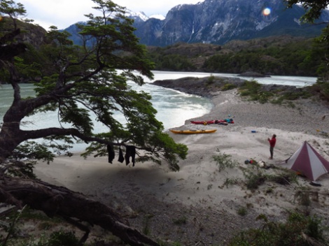
That evening, we followed the river out of the upper valleys into a mountain setting. A granite basin spilled three waterfalls above camp, but our scenic reverie was kept in check by gusty winds that swept through camp, making our cooking fire erratic. I left the meal to Lisa and began harvesting sand to bury the edges of our tent so it would stand securely in the tempest. Just as I completed this task, the wind died.
Image
During the night, rain started. By noon, the 12-hour shower abated, and we launched amidst patches of brilliant sunshine.
Image
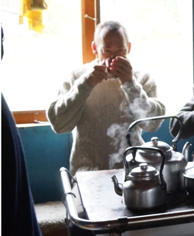
“We are paddling the river,” I said in imperfect Spanish. Enrique invited us into a weathered wood shake house where we sat around the ubiquitous Chilean cook stove. We offered gifts. He stoked a small fire and prepared matte. The tea ritual is an important ceremony in remote Patagonian ranches, or “campos” as they are known. The water temperature must be just right. The order of service is calculated, ladies first, then around the circle. When one is finished, but not until one is finished, they are to respond with a “gracias,” or “muchas gracias,” or in the case of the very remote homesteads, I found, one must stand with some ceremony and reply “muchisimo gracias senor.” Then, and only then, will the communal silver straw of caffeinated drink stop coming your way.
Image
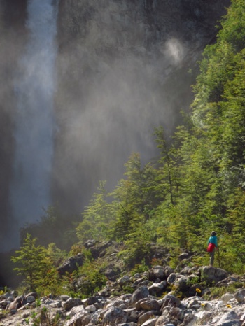
Enrique told us that there was a waterfall just a 15-minute walk from his house. We followed a black water line laying on the ground to a cobble debris fan that buried tree trunks. Enrique said the flood happened 50 years ago, when the lake one thousand feet above us over-spilled. At the falls, he urged us close, where the encompassing spray blasted us wet.
Image
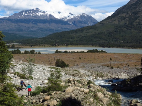
On our return, we paused to look across the Nadis Valley, which will be inundated by the reservoir behind the Baker #2 Dam, if it comes to pass.
Image
Lisa paddled into the wide confluence of the Nadis. We plowed into an increasing river wind, trying to imagine placid reservoir water deeper than the treetops on shore.
Image
Like Ishi Pishi on the Klamath, Bridge River Rapid on the Fraser, or Celilo Falls on the Columbia, El Salton of the Baker is a place of huge energy, a threshold of upper river and lower, that place where river makes it’s charge through mountain. The dam would be built here, near the top of the short gorge.
Image
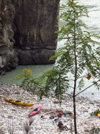
For us, it was a three-trip portage, a full kilometer hike undertaken with two empty boats and a load of gear. By the time everything was at the far end, it was late afternoon. This was the wildest place on the river, with all the energy of the Baker being released at our doorstep. We decided to call it camp.
Image
Tomorrow, we would ride the restless pulse of El Salton into the misty mountains of the lower Baker.

Image

This blob brought to you by Funhog Press.

Before going to Chile, the Chacabuco was an alternate river for us, something that might be worthwhile if we had extra time to kill. Turns out, it’s a jewel, maybe the highlight of our trip. The Chacabuco Valley is slated to become a reserve, titled quite ambitiously, “Patagonia National Park.” As we bounced down a dirt road trailing a lonely cloud of dust, it was soon apparent that the lofty title is not overblown.
Image
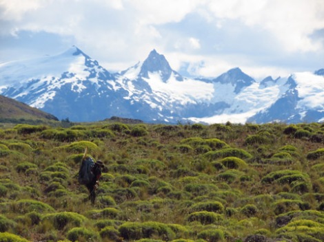
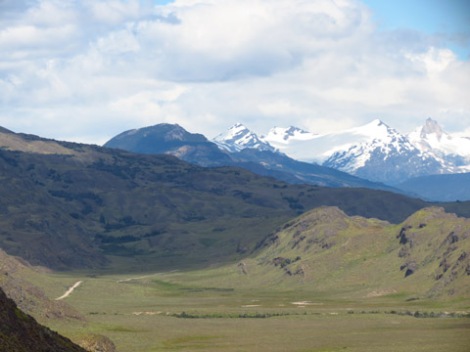
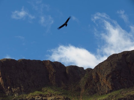
The Chacabuco is in the lee of the Northern Patagonia Ice Cap, and thus more arid than the glacial fringed valleys just to the west. It is an open landscape, painted yellow by the flowers of thorny buckwheat. Herds of Guanacos stood curiously with long outstretched necks as we passed. White and black birds that looked like miniature albatrosses flocked over marshy lakes. Ahead, I saw a big bird gliding. I’d never seen an Andean condor before, but it was easily recognizable by its slow coasting flight, just like the lumbering California condors that circle over Grand Canyon back home. Soon after spotting this first one, we came into a large gathering, maybe thirty, that pendulously flapped away at our approach.
Image
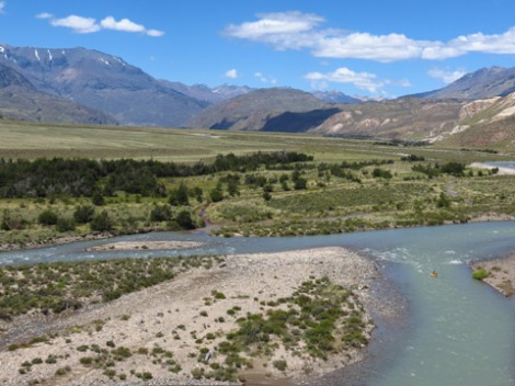
Stopping at the isolated offices of Conservation Patagonica, we followed Roberto inside and procured updated information on road conditions. By the time we reached Casas Grandes, our put-in, we had climbed past the lumpy moraine hills of the lower valley and entered a dry Andean scene where a finger of Argentina’s Pampas crawls into Chilean territory.
Image
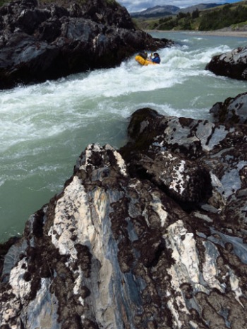
Two hours of floating brought us to the first gorge. This one started abruptly, like all the Chacabuco gorges, where glacial moraines cross the river’s course. The second rapid in the gorge was an S-turn around holes that could easily flip a pack raft. Lisa thought it might be time to pack up and portage. I ascertained that it was easy enough, and we should stay with the river. She acquiesced. We ran. I swam.
Image
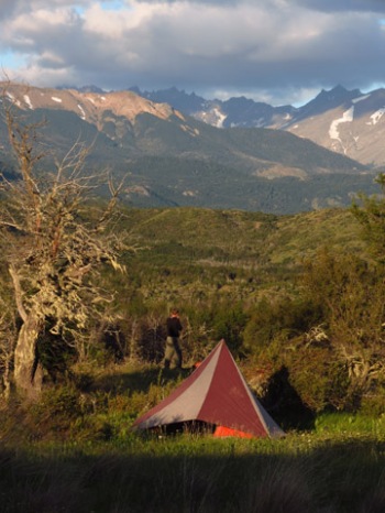
In my drysuit, cold wasn’t an issue, but it was still good that I made an eddy before the next rapid. The rocks were sharp and irregular, forcing us to de-rig the boats and walk. A half-hour later, we were drifting out of the canyon bound for a ridgetop camp among gnarled mossy nirre trees.
Image
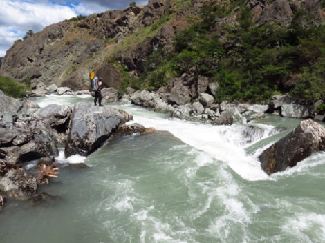
Had we known what awaited us on our last day, we’d have hardly rigged our boats in the morning. Instead, we pushed into the last major gorge ready to run, and stay with the river. We scouted, and then ran the first two rapids before arriving at a spray filled horizon. This one was a walk. Immediately below was another portage, and the next drop forced us onto a steep scree slope.
Image
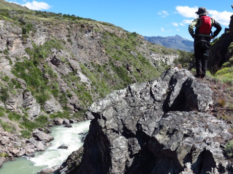
Lisa climbed a bluff and hauled her pack up on a rope. Pebbles cluttered down, and a cloud of dust mushroomed. When I climbed up to join her, she said, “The bad news is that it keeps going.” Downstream, long technical rapids too big for a pack raft continued. The portaging looked difficult and slow. We were hiking out.
Image
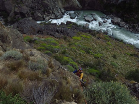
I spotted a route leading downstream and out through a break in the rimrock, but Lisa had other ideas. She plunged ahead toward a low cliff on the rim. I offered my dubious opinion of her plan, but she had a vision and simply replied, “I’ll lead it.” In her drysuit, she started up a vertical bluff of compacted dirt and crumbling moraine, pausing at the crux before finding a solid foot placement and a bush for a hand hold. Thirty minutes later everything was out of the canyon.
Image
At 40,000 cfs, the Baker dwarfed the modest Chacabuco. It swirled and surged at the confluence, pulsing with the energy of the canyon. A few miles downstream we took out and hitched a ride to Cochrane. It was time to trade our pack rafts for sea kayaks, and continue the descent of the much anticipated Rio Baker.
Image